 AvPlan
 AvPlan EFB 9.9
AvPlan EFB 9.9 is now available from the Apple App Store as a free update for all subscribers. In this […]
Learn More


We’re happy to announce that AvPlan 3.2.2 is now available in the Apple App Store. This release adds;
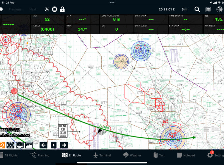
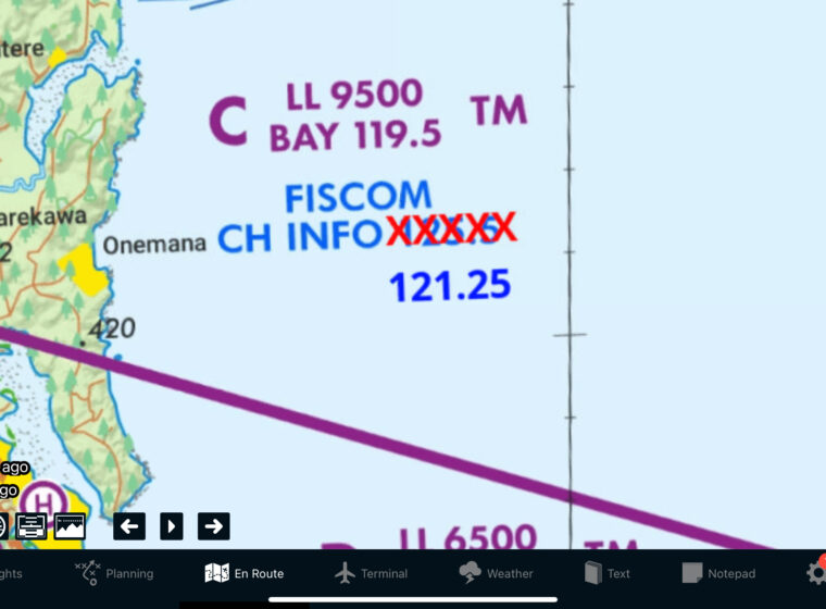
The Australian and NZ topographical maps can be downloaded now, but will be available for use on the 14th of November. We have broken this rather large chart into 6 sections. To download these chart sections, tap Settings, Data Downloads, Other Downloads.
We have added the ability to overlay extended runway centrelines for your departure point and all landing points in your flight plan. These runway centreline extensions are conveniently 5 nm long, and the most into-wind runway is coloured green based on the current METAR for the airport. To turn this on, tap the Map Settings button on En Route. Select ‘View Items’, ‘Runway Centrelines’.
Full support for SPFIB briefings has been added under Planning, SPFIB Briefings. This will download an SPFIB briefing for your flight plan. You can also request an update for this briefing by changing the selection field at the top to Update. AvPlan will then contact NAIPS and request an updated SPFIB briefing to show you what has changed since you last requested a briefing or update. When flying at or below FL180, this function also requests an Area Forecast for your route as well. You can also print your SPFIB briefings by tapping Planning, Print/Send.
We have added the ability to individually overlay Airports, Helicopter Landing Sites (HLS) and ALA’s on the maps, and the ability to overlay area forecast boundaries on the maps. Tap Map Settings on the En Route pane, View Items.
We have moved the METAR and SIGMET overlay function to be under what was the button to enable/disable the weather radar overlay. In addition, you can tap on the Lightning ‘OK’ button when viewing that overlay and the lightning will be hidden from the map.
Lastly, and this is a really neat feature, we have added hyperlinks into the SPFIB and Winds area of the app (under Planning). Any series of known waypoints in these forecasts (YMIA/YBDG/FLIKI for example) will appear as hyperlinks (blue underlined text). You can tap on these hyperlinks and the app will draw a line connecting those points on the maps.
We have also fixed a few software issues;
 AvPlan
 AvPlan EFB 9.9 is now available from the Apple App Store as a free update for all subscribers. In this […]
Learn More AvPlan
 In the coming days Apple will release their latest operating system for iPhone and iPad, OS 18. The AvSoft Australia […]
Learn More AvPlan
 The AvPlan EFB team have been busy making improvements which greatly improve the app for use in New Zealand. Some […]
Learn MoreNotifications