 AvPlan
 AvPlan EFB 9.9
AvPlan EFB 9.9 is now available from the Apple App Store as a free update for all subscribers. In this […]
Learn More


AvPlan EFB 4.3 is now available in the Apple App Store. In this release we have added the FlightAce Country Airstrip Guide, Obstacle warnings and have greatly improved the auto-routing engine (especially for those who fly over FL180).
The FlightAce Country Airstrip Guide is now available on the Terminal page within AvPlan EFB. The Country Airstrip Guide is a set of 2300+ ALA diagrams which cover pretty much every landing area in the country. Subscriptions for this component are available on our website for $69.95 PA, and all users will receive a free trial of the content for a month.
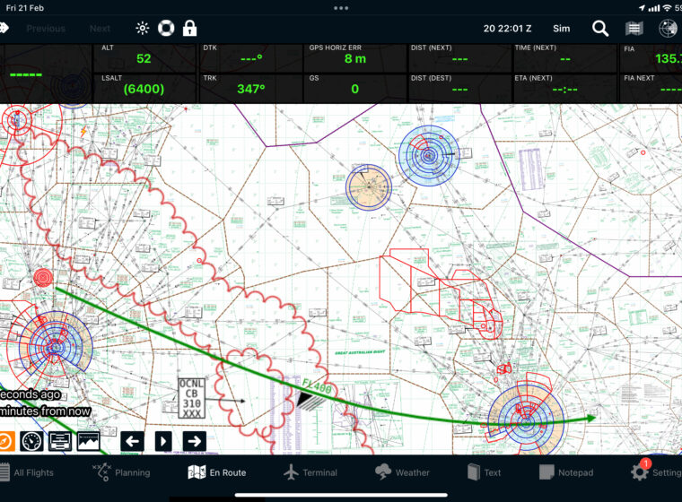
AvPlan EFB now includes obstacle warnings for every charted obstacle in Australia, New Zealand and the USA. The warnings can be enabled by tapping Map Settings, View Items, Obstacles on the En Route pane. When flight planning, obstacles within 12 nm of your route will be displayed. Yellow for obstacles within 1500ft of your flight planned altitude and red when within 500ft of your planned altitude. When in flight, obstacles are displayed using the actual GPS altitude.
We have rewritten the IFR auto-routing engine in AvPlan EFB 4.3. The app now makes better choices to choose IFR waypoints to join and leave IFR routes. In addition the app does a far better job flying down preferred IFR routes as well. For those flying above FL180, AvPlan EFB will prefer to fly down upper level IFR routes, and will choose waypoints with connected upper level IFR routes.
You will also notice on the select route page, the route and distances for each choice is displayed.
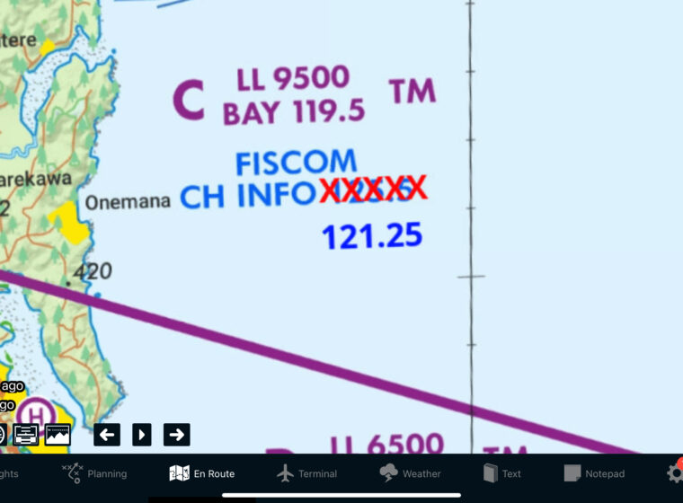
We have now added both AWIS frequencies and phone numbers to AvPlan EFB. In addition, you can tap on the phone number and AvPlan EFB will ring the phone number for you. For those running iOS8 on their iPad and iPhone, your iPad will even dial the number on your iPhone. An excellent reason to pair your iPad to your headset in some way.
We have increased the available zoom levels on the Mega maps. This will allow you to overlay an airport diagram on the map so you can seamlessly transition from the map to the airfield diagram. AvPlan EFB is even smart enough to de-clutter the overlays (such as runway extensions) so they don’t get in the way.
We have also fixed a number of issues that some users have experienced;
 AvPlan
 AvPlan EFB 9.9 is now available from the Apple App Store as a free update for all subscribers. In this […]
Learn More AvPlan
 In the coming days Apple will release their latest operating system for iPhone and iPad, OS 18. The AvSoft Australia […]
Learn More AvPlan
 The AvPlan EFB team have been busy making improvements which greatly improve the app for use in New Zealand. Some […]
Learn More